Trekking Through the Himalayas
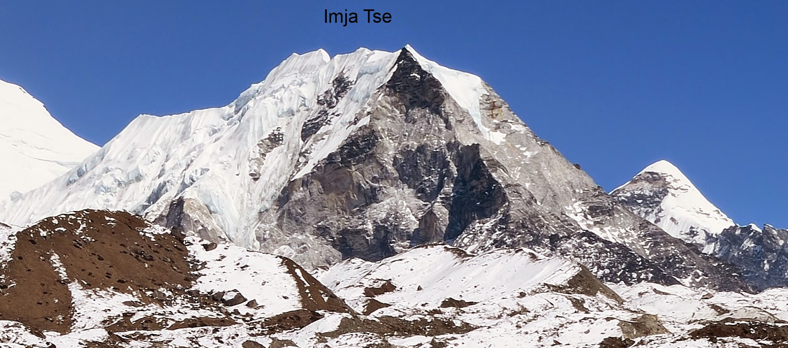
Imja Tse (20305 feet/6189 meters)
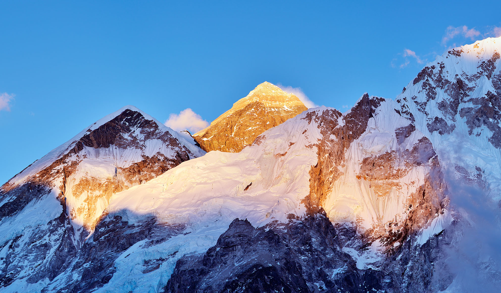
I drove my ice axe into the hard snow to anchor my balance on the mountain. My oxygen-deprived body screamed for more air and so I decided to rest. At 17500 feet above sea level, the air was thin and the stars seemed closer and brighter than ever. I could see a glimpse of daylight starting to penetrate the eastern horizon where the silhouette of Makalu, the 5th highest mountain in the world, stood determined to protect the remaining darkness of the night.
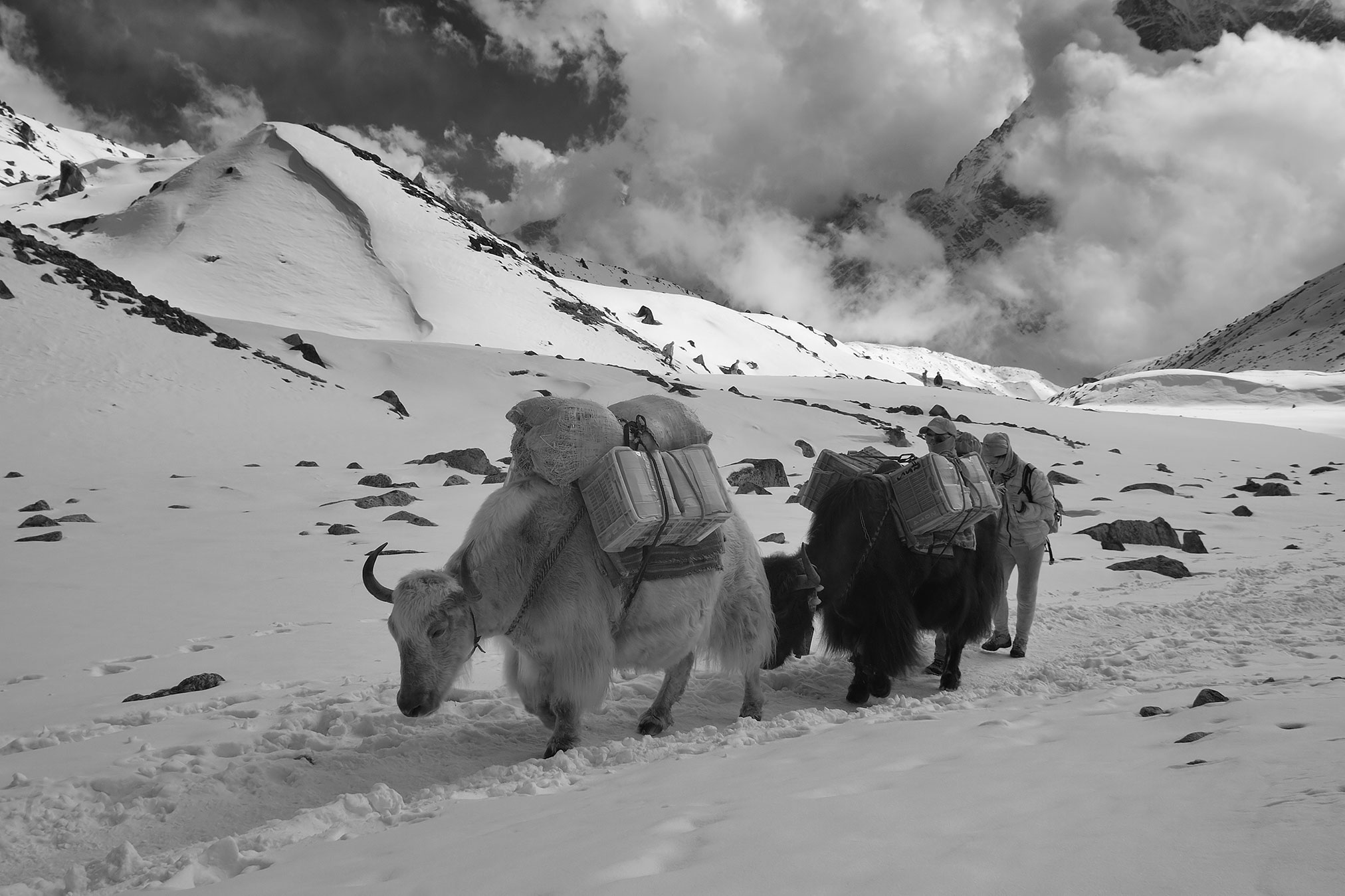
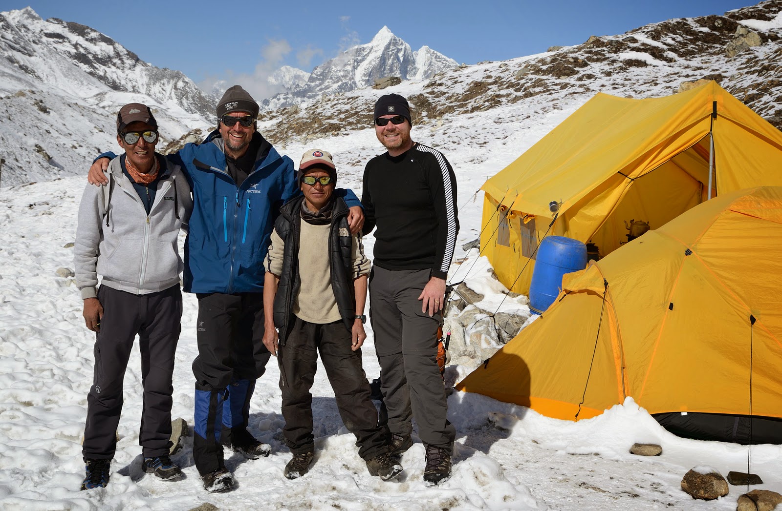
When we left our base camp at 3am, there were three inches of fresh snow crunching under our feet. It was bitter cold but I had no time for such observations as I was totally stoked and excited about our ascent. Our climbing Sirdar Pema Temba Sherpa took the lead, and Chris and I followed his headlamp. After two hours of scrambling up the steep slope we arrived at an avalanche chute with about 50-degree incline. When I occasionally looked up, I saw an endless gully stretching up to the darkness. Looking down, though, I could see only a distance of about five meters before the rock and snow started to curve down into the black void.
Climbing through the chute without a rope was invigorating. The ice axe was the only tool we used to keep ourselves safely anchored to the mountain. Even though I had no experience with high altitude climbing, this wasn’t the first time I found myself in such a situation. I felt comfortable “ice-axing” my way up, although I surely didn’t want to slip and tumble down the mountain, hoping I’d be able to successfully self-arrest.
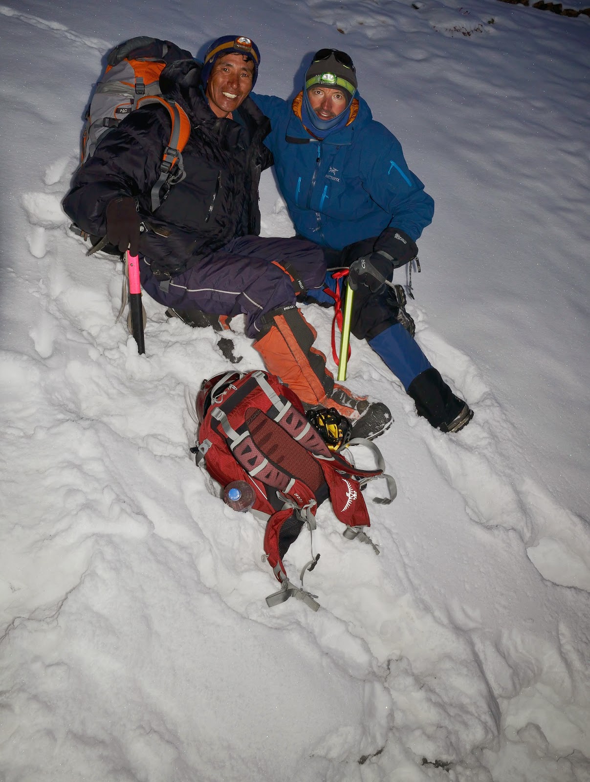
Pema climbed effortlessly. Occasionally, he would break his silence with Nepalese [bistaary, bistaary] (slowly, slowly) as he watched us navigate through some tricky spots. Being a true Himalayan veteran, Pema Temba Sherpa is a multiple Mount Everest summiteer, having a long resume of other impressive summits such as Makalu, Dhaulagiri, and Ama Dablam, to name a few. Being guided by such a professional was quite inspiring but it also raised a few questions in my mind: “Is Pema’s perception of danger similar to mine or should I be prepared to grow some balls? Will I find myself skidding down into the darkness even before I have a chance to put crampons on my boots?” With a typical Sherpa’s “We will see” attitude, I shifted my focus away from my thoughts, pushed my ice axe deep into the snow, and kept trudging up the chute.
The sun was about to rise, but our objective, the summit of Imja Tse (Island Peak) at an elevation of 20305 feet/6189 meters, was still far away. Around 18000 feet, the snow became even deeper and our progress slowed.
During our fourteen-day trekking trip throughout Mount Everest region, we met with a few other Island Peak expeditions that had planned to summit ahead of us. Unfortunately, all of them had to abort their ascent and turn back due to bad weather or difficult snow conditions. When our expedition reached Island Peak base camp seven days later, nobody had summited the mountain in this climbing season yet. We knew that our chances to reach the top of Imja Tse in these untested conditions were rather slim but we were determined to give it a try. In the Himalayas, a person never quits. Somebody has to be the first, it’s just a matter of time and determination.
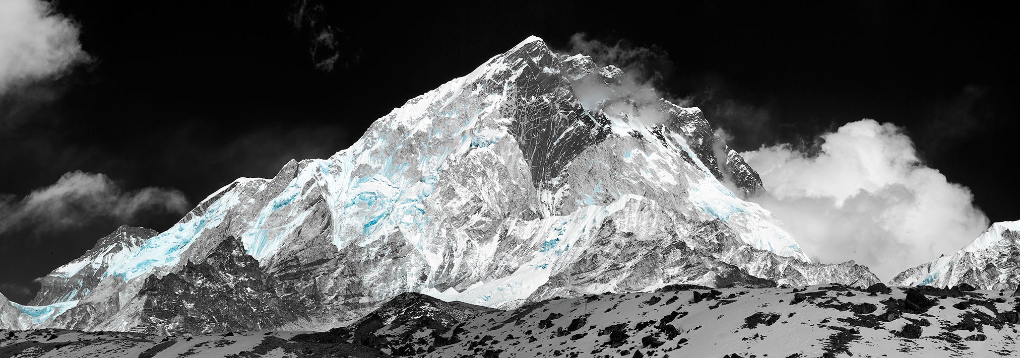
Imja Tse summit was first climbed in 1956 by a Swiss team as a training exercise in preparation for Mount Everest and Lhotse. Nowadays, it is one of the most popular trekking peaks in Sagarmatha National Park. During climbing season, the mountain is normally dry and clear of snow all the way up to the glacier. Where the glacier begins, the route proceeds up through a snow plain where occasional crevasses have to be dealt with. Fixed ropes are usually set by the guides for the final 250-foot ascent of the greatly exposed summit ridge. People with minimal mountaineering experience can succeed in conquering this peak, providing they possess the determination of a bull and meet with favorable mountain conditions and weather. Unfortunately, the mountain whose skirt we were hanging on didn’t seem to be willing to put out and lose its summit virginity.
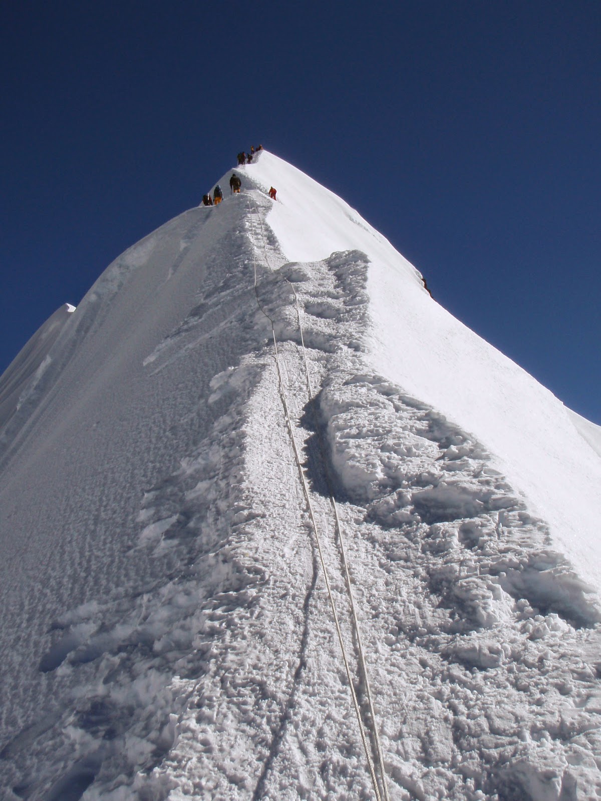
As we slowly reached the top of the avalanche chute and were about to traverse to the next one, we caught up with a German climber and his Sherpa. We all needed to rest as the snow became waist-deep in places. Sitting in the snow, anchored by his ice axe, Pema surveyed the mountain with his eyes. He hadn’t seen so much snow on Island Peak in his last fifty to sixty ascents. Possible avalanches and hidden crevasses along the headwall leading to the summit ridge were on his mind. Last year, three ladders had to be installed for climbers to be able to cross those “iceholes.”
In a short while however, Pema uttered his “We will see, we will see” and continued upwards. When we reached nearly 19000 feet, the sun started to pour its heat into the valleys and mountain slopes. In minutes, the sweltering heat took over the subzero temperatures that had kept biting us during the night. It was absolutely clear, even at this high altitude, that the Himalayas are located in the subtropics.
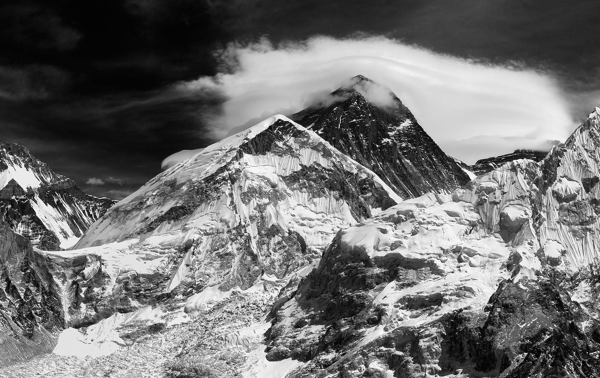
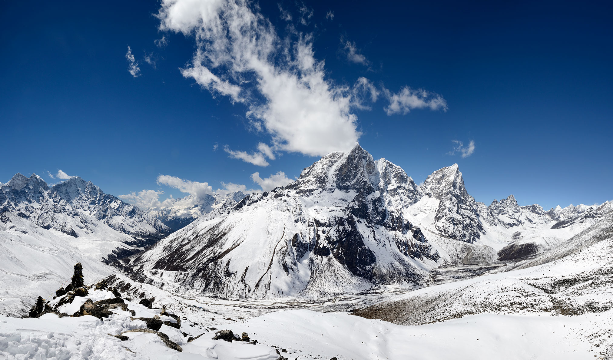
Soon we had to stop again to shed some clothing. I sensed that the moment I had dodged for so long was approaching with overwhelming finality. I felt great deal of sadness as it became obvious that we would not be able to summit Island Peak. Our progress was too slow, the snow was too deep, and the dangers of the mountain grew exponentially. The German climber and his guide made their decision to turn around. Chris looked tired and seemed ready to follow them down. Pema and I sat quietly in the snow, reluctant to admit our defeat. I looked around and marveled at our majestic surroundings. Makalu (27765 feet/8463 meters) towered to the east, Kali Himal and Baruntse to the south east, Ama Dablam and Thamserku to the southwest. Mount Everest to the north was obscured by Lhotse face. With many other grandiose peaks and glaciers in sight, this was undoubtedly one of the most impressive mountain panoramas one could ever behold. I took my camera out of my backpack, snapped a few documentary pictures, and started my way down towards our base camp [bistaary!]
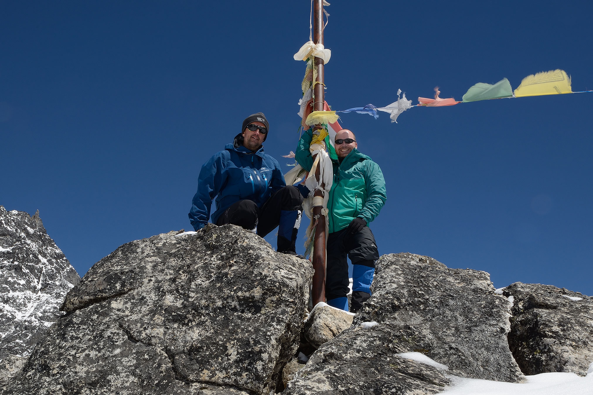
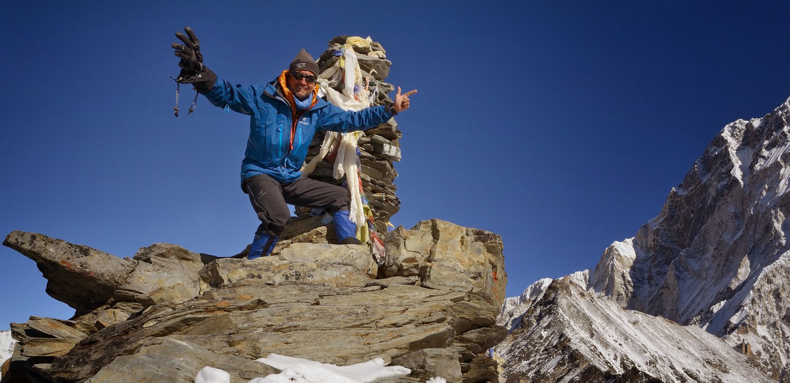
I was disappointed at first but eventually I made peace with our decision to turn around. Elevation-wise, we topped Mount Elbrus, the highest mountain in Europe, which was a nice conciliatory thought. Coming home from the Himalayas in one piece had also its appealing merit and so I took a deep breath and enjoyed the ride. To end our trekking trip on a positive note, however, I solo-summited Chhukhung Ri (18210 feet/5550 meters) the next day. Surprisingly, I happened to be the only person on the whole mountain during that fine morning. When the sun started to rise over the horizon and yet another beautiful day was about to start, I felt privileged to see it happening…
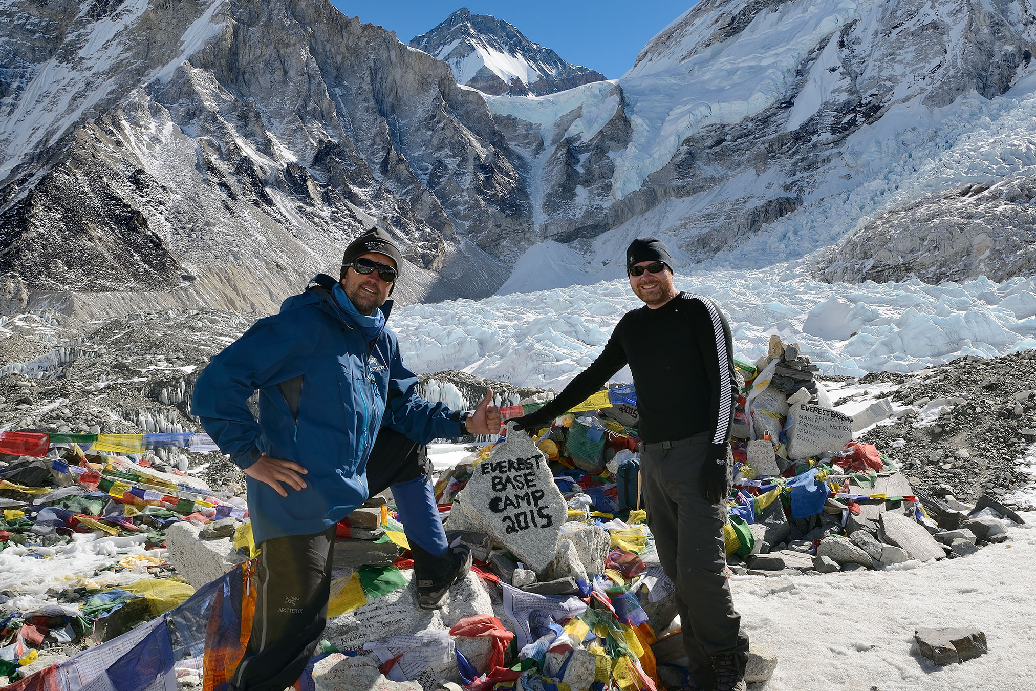
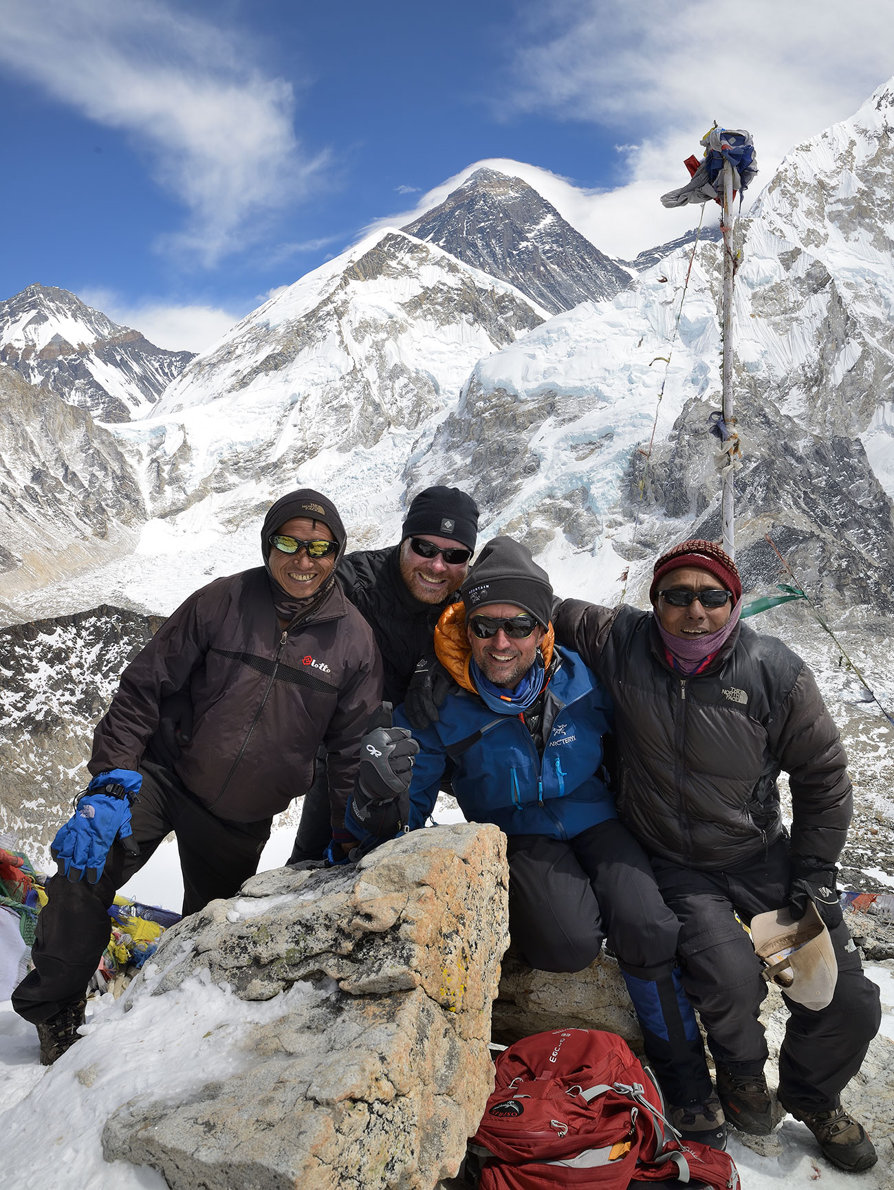
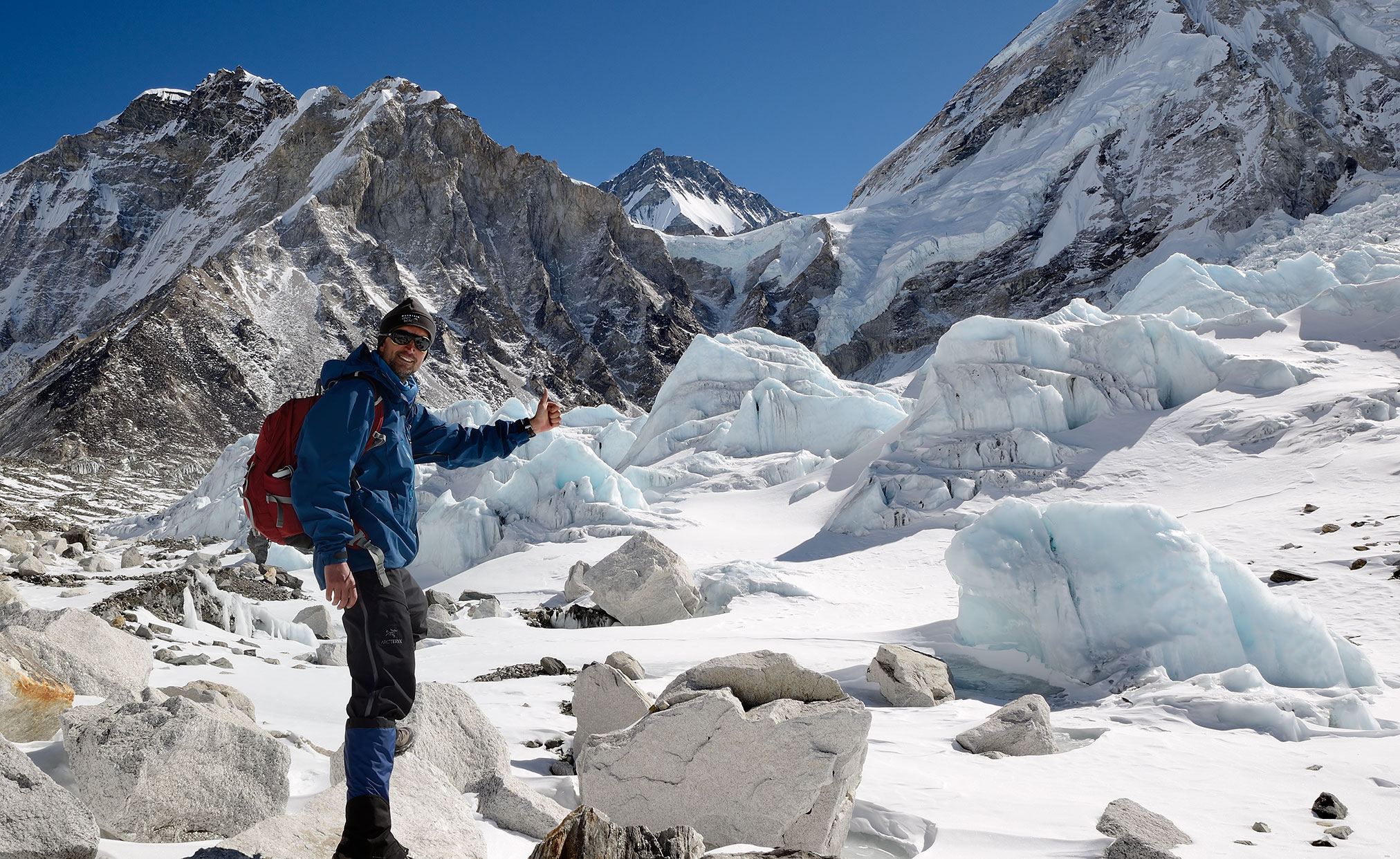
Trip Statistics:
Visited Mount Everest base camp 	(17602 feet/5365 meters)
Summited Kala Patthar           	(18176 feet/5540 meters)
Summited Nangkar Tshang         	(16683 feet/5085 meters)
Summited Chhukhung Ri           	(18210 feet/5550 meters)
Total trekking distance in 17 days: 	215 kilometers
Total Calories burned: 			31719 kcal